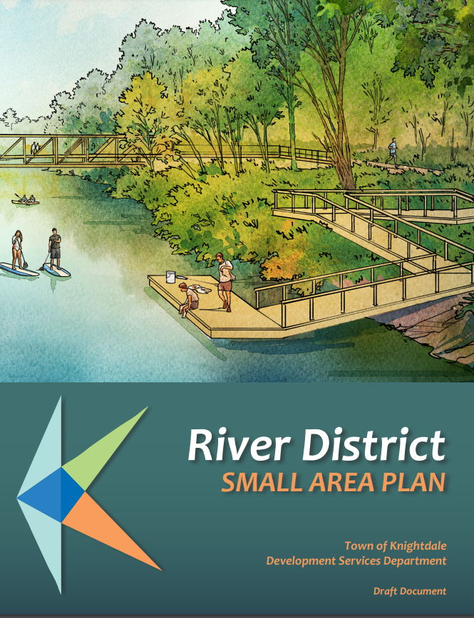
The Town of Knightdale is excited to announce the adoption of the River District Small Area Plan. River District boundaries stretch from the Neuse River east to 540, north to Legacy Oaks, and south to Poole Road. The Plan lays out a vision for the district and provides guidelines and policy statements for future land use and development, transportation improvements, parks and open space, environmental protection, and placemaking elements.
The planning process was led by the Development Services Department and kicked off in November 2022. The plan was shaped and created from feedback and insight received from various community outreach efforts, including a table at the Christmas Tree Lighting and a Visual Preference Survey. Additional input was received via stakeholder interviews with residents, developers, business owners, neighboring local municipal partners, and environmental groups. After a draft plan was released in May, an open house was held in June for additional feedback opportunities. The Land Use Review Board recommended approval at their July meeting, and the Town Council adopted the plan on July 19, 2023.
The Small Area Plan serves as an appendix to the KnightdaleNext 2035 Comprehensive Plan and is to be used in conjunction with both the Unified Development Ordinance and Comprehensive Plan. As land development proposals within the district’s boundaries are reviewed, consistency with the Small Area Plan’s principles and recommendations will be essential. The Plan creates four new guiding principles that focus on water quality, active outdoor lifestyle, placemaking, and trail/transit-oriented development. The topics of Land Use, Transportation, Open Space, Environmental, and Placemaking are explored, and specific recommendations are presented for each category. The Plan also revised specific areas of the Town’s future land use map. Several mixed-use centers were expanded, a neighborhood node was added, and a new Trail Oriented Development place type was introduced. All of these elements will help to provide residents with additional opportunities to live, work, shop, and participate in civic life.
In addition to making recommendations for private development, the Plan also identifies ways the Town can implement the plan and make capital investments in the District. Some of these recommendations include establishing additional public parks, expanding the greenway network, making pedestrian improvements like filling in sidewalk gaps and installing crosswalks, and exploring ways to include more public art and artistic wayfinding signage.
Thank you to everyone who participated in this process. Your insight and input were integral to creating this plan! The Plan furthers the Town’s goal to create a walkable, connected community that provides ample destinations and recreational activities for residents and visitors. Watching this District come to life is extremely exciting, and we hope the residents of Knightdale share in that excitement!
Please visit the Town’s website for more project information and to view the adopted Plan: https://www.knightdalenc.gov/development-services/long-range-planning/r…;