 The Town provides engineering support to residents, developers and staff to manage the inspection, maintenance, and development of public infrastructure. This infrastructure includes town-owned streets, pedestrian facilities, developmental regulations and stormwater management. This is accomplished by the Town in cooperation with other jurisdictional bodies such as NC Division of Transportation, City of Raleigh, and Wake County.
WATER & SEWER SERVICE
The Town of Knightdale merged its Water & Sewer System with the City of Raleigh. As such, the Raleigh Utilities Department owns and operates all public water and sewer utilities located within the Town. The Utility Permit page has additional information on water/sewer availability and the connection process. The City of Raleigh can provide more information on the existing utility system layout, proposed system expansion plans, and general design guidelines and standards. Raleigh also provides plan review and approval for new private infrastructure which is part of the development process. Please visit the Development Process section of the website for additional information.
If you have concerns about a potential water or sewer leak, please visit the Utilities section of the website for more information.
STANDARD SPECIFICATIONS & DETAILS
The Town has standard specifications and details which serve as minimum standards for public roadway and utility construction within the Knightdale's planning jurisdiction. The manual was revised in November 2024 to better align it with other town plans, including the Unified Development Ordinance and Comprehensive Transportation Plan.
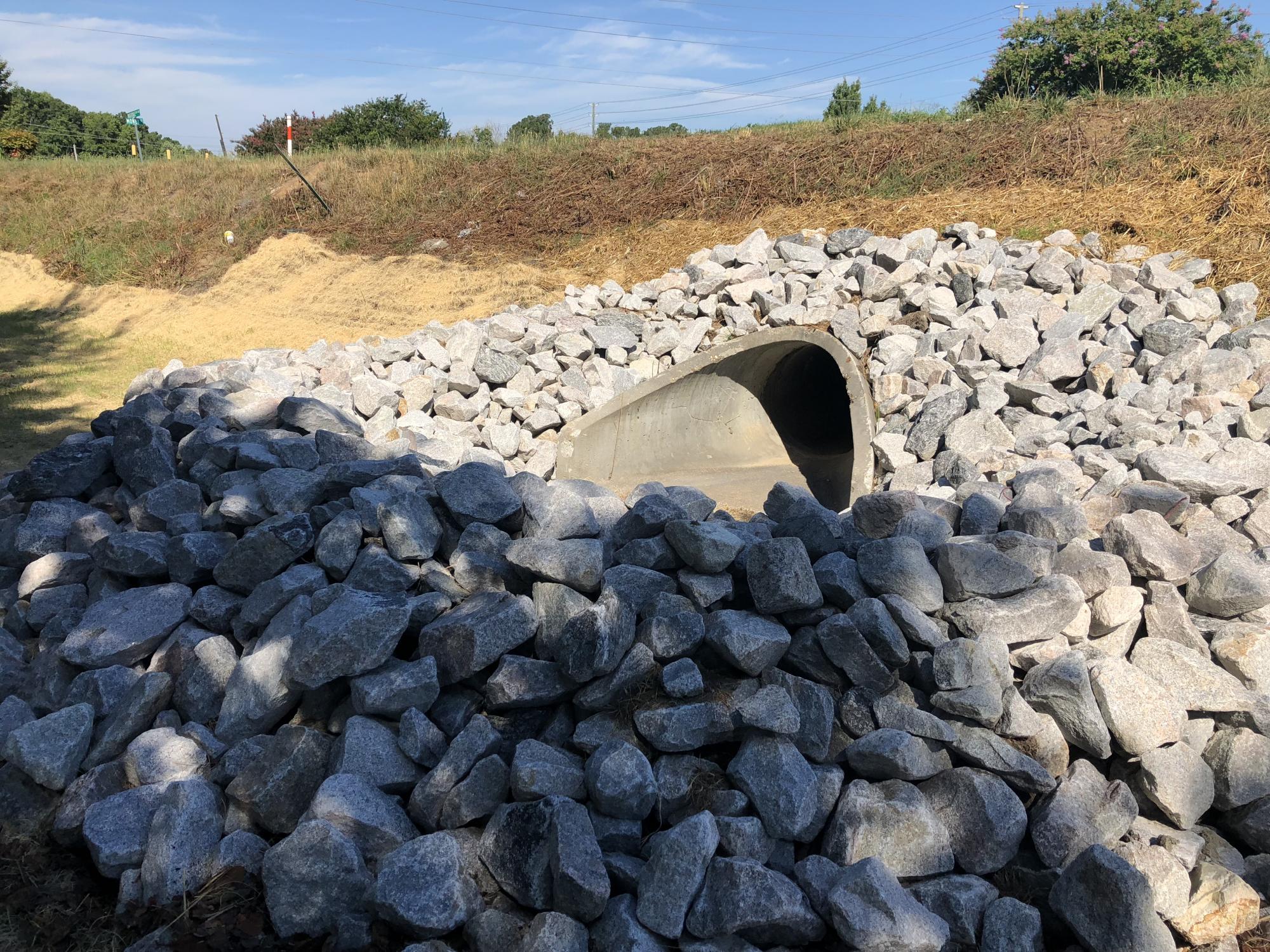
SEDIMENTATION & EROSION CONTROL
The Town of Knightdale operates its own sedimentation and erosion control program during the construction phase. This environmental protection program is accomplished by enforcing state and local erosion prevention regulations and by working with developers, builders and landowners in Wake County.
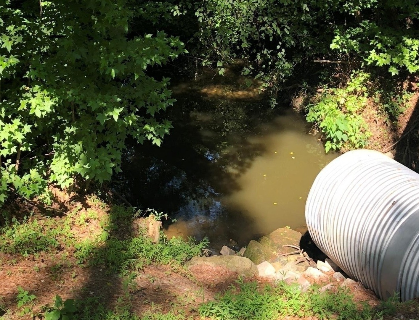
STORMWATER MANAGEMENT
The Town of Knightdale is designated as a National Pollutant Discharge Elimination System (NPDES) Phase II Stormwater community. This program is designed to protect waterways from the damaging effects of run-off from pollution, including sediment, industrial waste, and fertilizer/nitrogen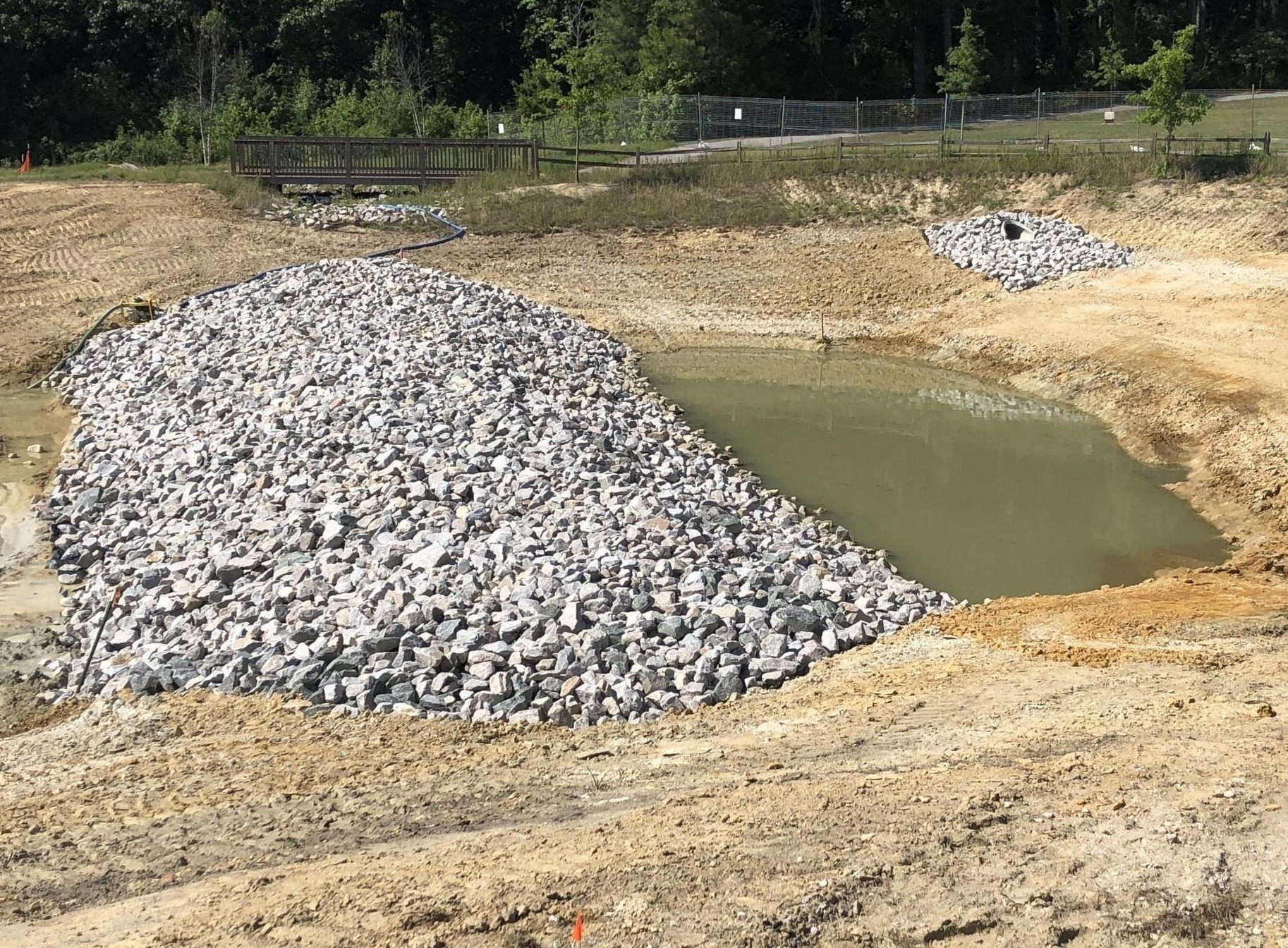 excess. Additionally this program helps to deter flood and storm surge damage. As part of the NPDES Permit the Town manages a program focused on resident education as well as the inspection and maintenance documentation for private storm water control measures.
For more information on this program please visit the Stormwater Management section of the website.
iMAPS

iMAPS is an interactive mapping application provided by the City of Raleigh and Wake County. This online application provides convenient access to a myriad of property-related maps and data. Users can query information for ownership, addresses, account numbers, PINs, and street intersections within Wake County. iMaps also provides real estate data such as acreage, assessed tax valuation, zoning and property sales information. Commonly used map layers include orthophotography (aerial views), demographics, planning jurisdictions, voting precincts, and environmental data.